Brooklyn’s Livable Streets: Before and After
April 25, 2014
Thanks to Google Map’s new timeline feature, you can now take a digital before-and-after tour of some of the city’s best livable streets improvements.
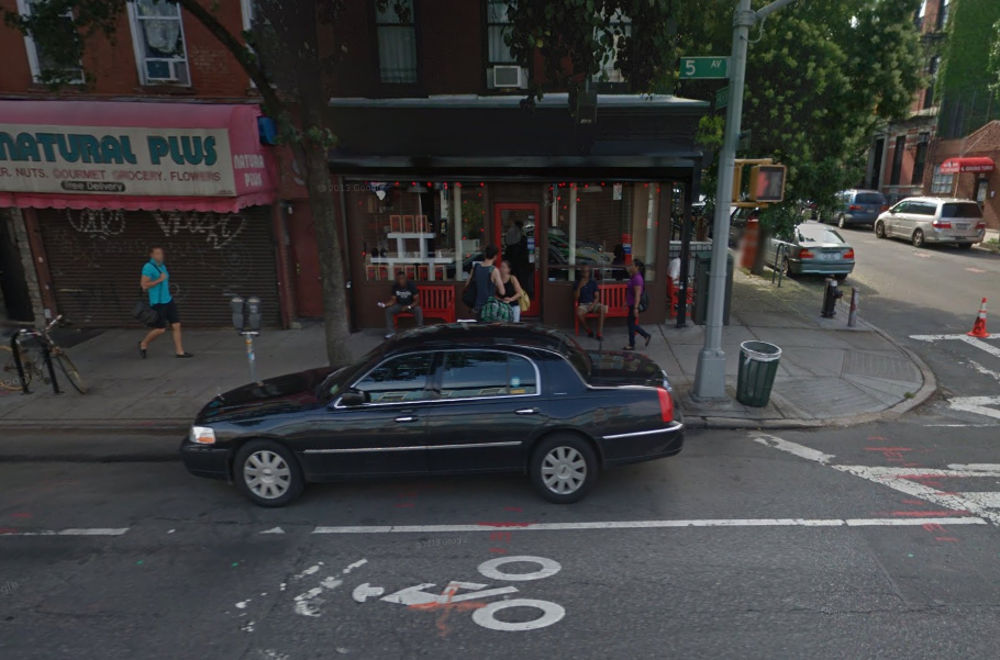
Here’s Gorilla Coffee on 5th Ave in Park Slope in 2007:
And here’s the same location in 2013, after the installation of a bike corral:

Space for one car or space for eight bikes…and one scooter!
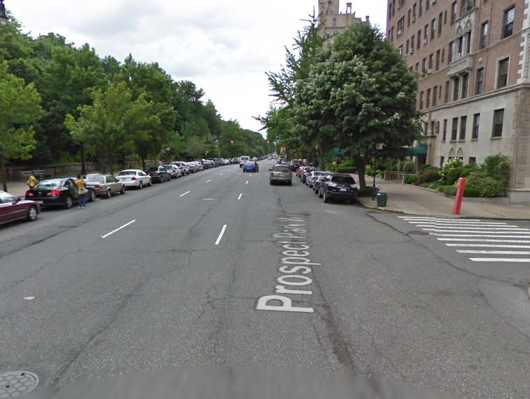
Here’s Prospect Park West in 2009, before the installation of the protected bike lane:
And here it is in 2010:
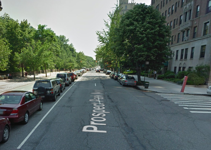
You can clearly see the effect this road diet had on the boulevard’s traffic.
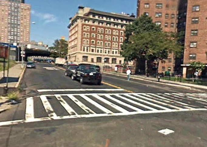
And here’s one of my favorite before-and-afters in Brooklyn. Sands Street in 2007:
And Sands Street in 2012:

Pretty remarkable.
3 Comments
Comments are closed.

Bike corrals are great (we already know parking availability is linked with driving, I suspect there could also be a connection with riding), but I have to object to 5th Ave appearing under the headline “Brooklyn’s Livable Streets”
Other than during rush hour I much prefer the rightly-maligned Jay St to 5th Ave.
Fair point! Perhaps a better title is “Brooklyn’s Livable Streets Improvements.”
Sorry for the intrusive Luminate ads, everyone. I’ve asked WordPress to deactivate them.